


We’re well into Canada second-worst wildfire season on record and drought has “rapidly intensified in many parts” of the country, experts say.
The forecast is “normal to above normal temperatures” across most of Canada for the rest of August, September and October, according to a North American outlook produced by teams from Canada, the United States and Mexico last week.
The northern BC coast, western Yukon and parts of the Arctic can expect cooler than average conditions. Quebec and Atlantic Canada are expected to be warmer and drier than normal.

The NWT had a cooler than normal July but there wasn’t much rain either. In the South Slave and Dehcho near the borders with BC and Alberta, the territory is again seeing extreme drought, and fire activity has been significant in a similar area.
As of August 5, Canada has recorded about 4,100 fires burning about 6.7 million hectares. That’s the second-largest area burned for the time of year, behind only 2023.
Advertisement.
Advertisement.
“The most intense region continues to be central Saskatchewan and Manitoba,” federal analysts said in their three-month outlook. More than 2.5 million hectares have burned in Saskatchewan alone, which is near the annual average for the whole of Canada.
The NWT has seen more than 500,000 hectares burn.
“Monthly rainfall begins to taper off in much of western Canada in September, which is usually not good news given the amount of fire on the landscape and drought intensity,” forecasters stated.
“Many large fires active in August will likely continue burning into September and beyond. A drier period is forecast by many models for the southern Prairies, although orientation of wet and dry bands suggests a southwesterly flow of air from the Pacific with good moisture in British Columbia but with uncertainty whether this wets the central Prairies or regions farther north.
Advertisement.
Advertisement.
“Any precipitation in far northern regions helps, as fire activity generally tapers of with shorter daylight periods, cooler temperatures, and better surface moisture retention.”

Any snow that falls will of course help as September turns into October, but deep-burning fires in the Prairies and into the North could continue through the fall and into the winter, as has been seen in recent years.
“Much of the territory has returned to more seasonable weather with cooler temperatures and scattered showers,” NWT Fire stated on Sunday.
“But we should all remain vigilant. It’s essential for the public to help reduce fire risks so fire crews can concentrate on active wildfires.”
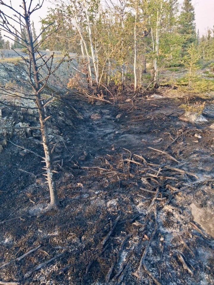
The territory’s wildfire agency said crews were still dealing with abandoned campfires. One reported over the weekend and given the label ZF050 was found 2.5 km north of the Yellowknife River day use area.
“Crews were quick to action this abandoned campfire, dropping six buckets from the helicopter to significantly reduce its growth,” NWT Fire stated.
“Wildland firefighters followed up on the ground with hand tools and soaked the fire to ensure it would not reignite. The fire was called under control yesterday at 0.1 hectares.”