


Advertisement.
Efforts to protect Fort Smith from a nearby wildfire mean residents will eventually come home to a significantly different landscape.
The town has been under an evacuation order for nearly a month. In that time, fire crews have built all kinds of fire breaks and other defences to keep out a wildfire that’s now around three kilometres from the main townsite.
Vegetation has been stripped away in many areas to try to provide as much security as possible if the fire advances.
Photos in this article were shared by the Town of Fort Smith’s protective services team to Facebook earlier in September.
Advertisement.
Advertisement.
Satellite before-and-after shots come from the Sentinel-2 satellite service and compare false-colour shots of the town in July with the same shot in late August.
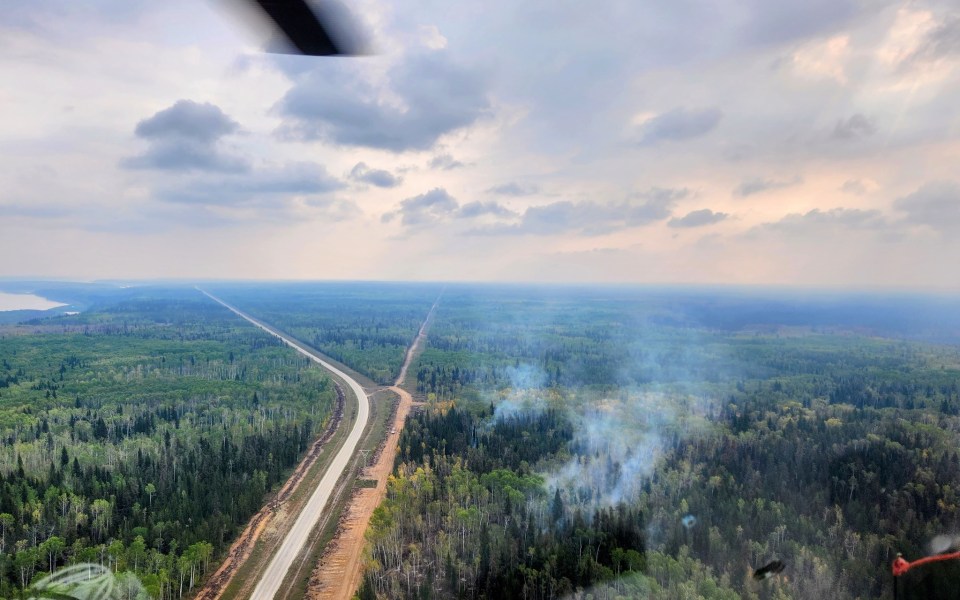
Here’s an overview from the air to start. Watch for changes from dark green to light green, and for brown fire breaks to make more of an appearance.
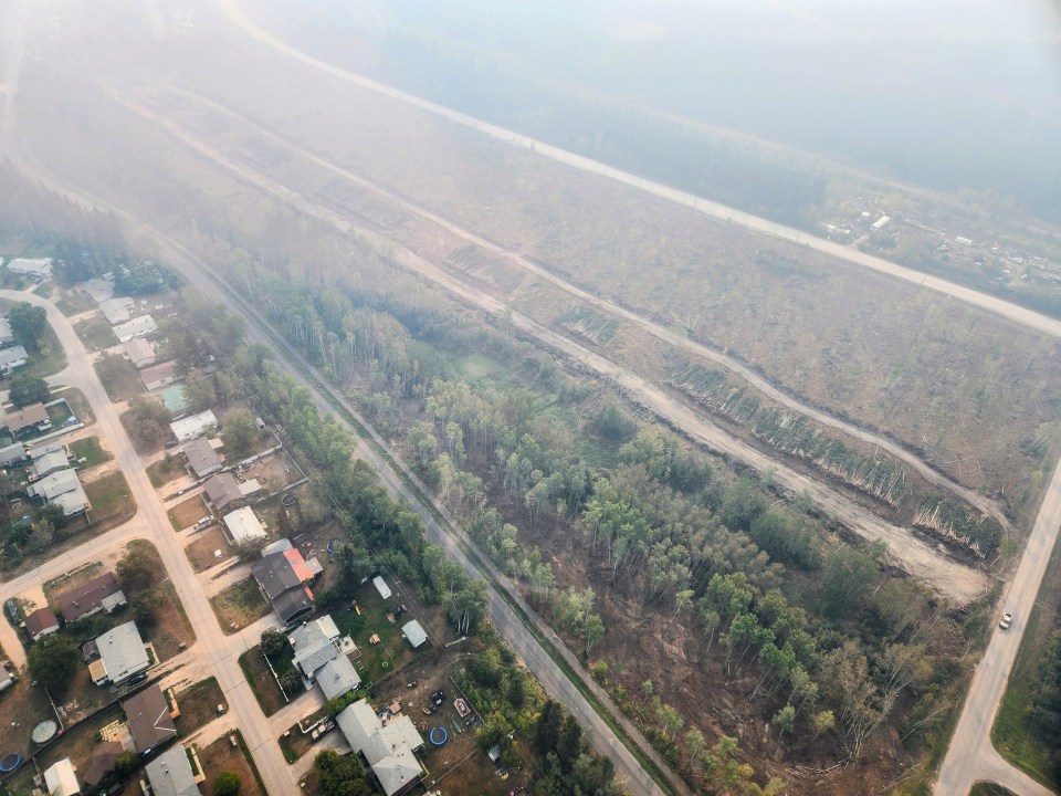
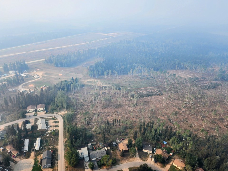
Inside Fort Smith and on the highway outside the town, a lot of work has taken place to clear trees from areas around roads, enhancing their use as fire breaks.
“The fire is still active so we are not safe to return to our community just yet,” the town wrote on September 3, “but great work is being done to tie [defences] into landscape features, and lots of crews are on the ground mopping up lines.”
Advertisement.
Advertisement.
This satellite view of the downtown area shows in more detail how whole areas of trees on the approach to Fort Smith, along the highway, have been stripped away. You can see the dark green areas change to a lighter green.
The same work has been carried out between the highway and Primrose Lane, in the lower right of the satellite shot.
At the bottom of the picture, a large fire break has had fresh work carried out.
Most of the defensive work is focused on protections to the west of neighbourhoods, in the direction of the nearby fire.
This photo shows work carried out next to Caribou Crescent, with the Department of Environment and Climate Change’s helipads in the background.
To the west, out along the highway, more work can be seen in the vicinity of the Bell Rock subdivision.
In this image, you can see the fire’s burn area appear in the bottom of the frame between late July and late August.
Along the top of that burn area, a line shows apparent heavy equipment work to create a protective barrier designed to halt further progress.
Advertisement.
Advertisement.
Some refreshed fire breaks are also visible.
“Stay safe everyone,” the town’s protective services team concluded.
“Thank you for your ongoing patience as the teams on the ground continue working to finish their job, with favourable weather finally settling in.”