


Heavy fog is expected for most of Wednesday morning across many parts of the Northwest Territories, Environment Canada says.
In advisories issued overnight, the federal agency said “dense fog” is likely until noon across many parts of the Dehcho and South Slave.
More: Cabin Radio Weather
Environment Canada specifically named Fort Simpson, Jean Marie River, Fort Providence, Kakisa, Hay River, Enterprise and Fort Resolution as communities likely to be affected.
Road conditions on Highway 3 and areas of Highway 1 were described as difficult early on Wednesday, with some wildfire smoke still mixing with fog north of Fort Providence as October begins.
Advertisement.
Advertisement.
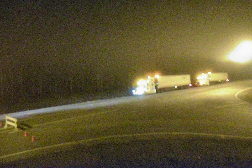
Drive NWT, the territory’s road conditions website, did not report any closures as of 4am but a webcam at Fort Providence appeared to show traffic heading north lined up behind a barricade.
By 9:30am, Highway 3 was showing as closed north of Fort Providence. Check Drive NWT for the latest conditions.
The website warned of expected delays because of fog on the Highway 1 ferry between Fort Simpson and Wrigley, while the Liard River ferry was listed as offering “intermittent service.”