

The NWT government has released a new-look version of the highway conditions map that has become a regular destination for travellers in wildfire season.
The map is also a source of information for people checking on ferries, winter roads, construction and other disruptions along the territory’s long, lonely highways.
Previously, the NWT’s highway conditions website tended to show most roads in a perpetual state of “eek” yellow, implying drivers should be permanently on edge. That made it a little tricky to know if the road was coloured yellow through some fresh hell or simply the usual hell.
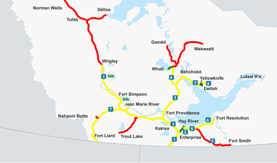

Now, the new map resists the urge to use yellow unless you really need to pay attention to something.
For example, on Wednesday afternoon, the map used a light yellow on most of the highway between Enterprise and the Alberta border to denote a risk from wildfires and smoke. Near one fire in particular, the shade turned darker to indicate heightened concern. Otherwise, most roads were green, even if the occasional slice of construction work might get in your way.
Advertisement.
Advertisement.
The new map, which was announced earlier in the summer and went live this week, also includes highway cameras for the first time. A dozen locations are available.
In an accompanying news release, the GNWT renamed the map DriveNWT and said it was a “state of the art” solution.
“Whether you are at your computer or on your phone, DriveNWT aims to improve road safety and enhance the overall travel experience for all users by providing comprehensive and timely travel information,” the territory stated.
“Users will have access to more accurate and detailed updates on construction zones, weight restrictions, ferry and ice crossing status, advisories and road closures, and can also view current road and weather conditions from 12 new highway cameras.”