

Advertisement.
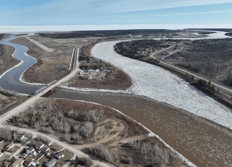
Spring breakup is almost over for Hay River in 2026.
In a Saturday afternoon update, the town said the flood risk remains low. The GNWT said the Hay River’s breakup is “near complete.”
Water levels “are at about average historical levels for breakup,” the town stated in a Saturday 4pm message.
On the Mackenzie River, the GNWT says “relatively intact ice remains” between Fort Providence and an area just upstream of Fort Simpson.
Advertisement.
Advertisement.
“After continued ice movement, a large open water section now stretches between Fort Simpson and Camsell Bend,” the territory’s hydrologists stated.
The water under the ice in Norman Wells has begun to rise, while breakup is “progressing quickly” along the Peel and Arctic Red rivers, the GNWT said.
“Water level measured on the Peel River near Fort McPherson has risen by
nearly 2 m in the last 24 hours. The water level is currently at 10 m which is
within average range for the freshet peak,” Saturday’s update read.