

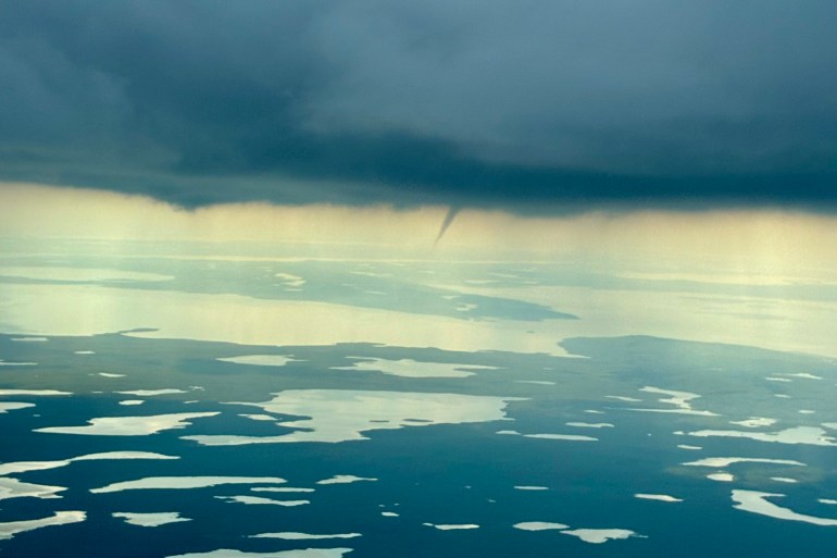
A patch of stormy weather over the NWT’s barrenlands appeared to produce at least one funnel cloud on Wednesday, bearing out a forecast that had suggested they were possible.
On Tuesday, Environment Canada had forecast the potential for funnel clouds across an expanse of the territory stretching from Yellowknife to Fort Smith and eastward.
On Wednesday afternoon, a funnel cloud was reported to have been seen forming south of the Diavik diamond mine.
A photograph was sent to Cabin Radio of the funnel cloud in its early stages.
As of 2:20pm, it was the only such report.
Advertisement.
Advertisement.
Funnel clouds are not tornadoes, though they can look similar. They are rotating columns of air that drop below a storm cloud but don’t make contact with the ground.
Funnel clouds remain a possibility for the rest of the day according to Environment Canada’s forecast.
